Earthquake Details and Impact
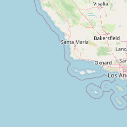
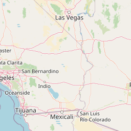
A magnitude 3.95 earthquake occurred at 4 km SSE of Julian, California, on April 15, 2025, at 12:57 AM UTC, with a depth of 12.57 km at coordinates (33.0405, -116.5921667) 2. This seismic event, though not as strong as the recent magnitude 5.2 earthquake in the same region, still warranted attention due to its proximity to populated areas and the effectiveness of California's earthquake early warning systems.
Early Warning Systems in Action
The earthquake early warning system, operated by the U.S. Geological Survey (USGS) in partnership with the California Governor's Office of Emergency Services and UC Berkeley, provided crucial seconds of lead time for residents in the affected area. Users in nearby cities like Rancho Peñasquitos and Santa Ana reported receiving alerts on their phones before the shaking started, allowing them to take protective actions such as dropping under a desk, covering, and holding on 3.
Emergency Response and Infrastructure Assessment
Emergency response teams were quickly deployed to assess any potential damage. San Diego Mayor Todd Gloria reported that there was "no known visible or major damage to the city so far" and that he was in communication with local, state, and federal officials 4. The Los Angeles Fire Department also conducted a standard survey by land, air, and sea, finding no significant damage reported.
Humanitarian Challenges and Community Response
While the earthquake did not cause major damage, it highlighted the importance of preparedness and early warning systems. Residents in affected areas expressed relief and gratitude for the timely alerts, which helped them stay safe during the temblor. For instance, a resident in Palm Springs noted, "I got the alert 1 second before I felt it I'm in Palm Springs I'm extremely impressed" 3.
Future Preparedness and Community Engagement
The effectiveness of California's earthquake early warning system underscores the need for continued investment in seismic safety measures. The MyShake app, developed by UC Berkeley, is one such tool that provides alerts in partnership with the USGS and the California Governor's Office of Emergency Services. The app is available in six languages and can be downloaded on various devices, including Android phones and iPhones 3.